Jointly Organized by
China Pakistan Joint Research Center (CPJRC)
Institute of Geographical Information Systems (IGIS)
School of Civil & Environmental Engineering (SCEE), NUST
Jointly Organized by China Pakistan Joint Research Center (CPJRC) Institute of Geographical Information Systems (IGIS) School of Civil & Environmental Engineering (SCEE), NUST.
UAV Remote Sensing Training
Theory & Disaster Management Practice
Master the science of aerial data acquisition and application for critical decision support during emergencies.
Registration Link: https://forms.office.com/r/2FzquZWw0f
I. Course Information
Duration & Dates:
4 Days, 17–20 November 2025
Target Audience:
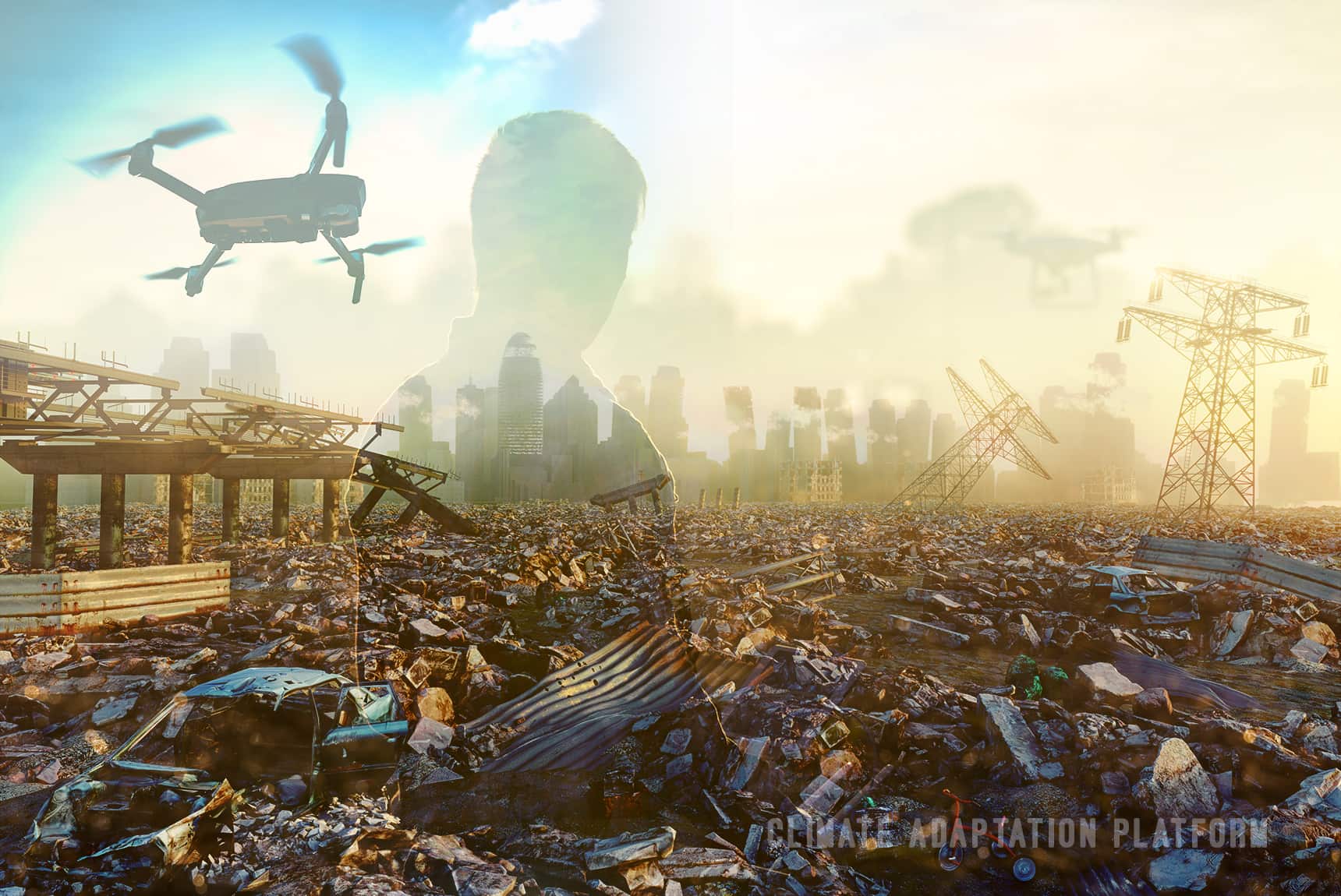
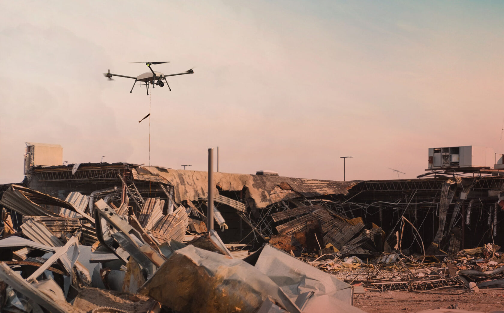
UAV Technology in Climate Adaptation and Disaster Response
Event Starts In:
Course Objective:
To enable personnel to master basic UAV remote sensing data collection, processing, and analysis skills, thereby enhancing their ability to assist in disaster management decisions through efficient and accurate technical support.
For Course Queries:
Contact Numbers:
II. Payment Information
Bank Account Details for Course Fees/Donations
Account Title:
IGIS Non-Development Fund Account
Bank/Branch:
HBL, H-12 NUST Branch, Islamabad
Branch Code:
2292
Account Number:
22927000142903
IBAN Number:
PK85HABB0022927000142903
Please ensure to mention "UAV Training Course Fee" in the transaction remarks for proper identification.
III. Daily Schedule & Curriculum
Daily Hours: 9:00 AM – 12:00 PM (Morning) and 2:00 PM – 5:00 PM (Afternoon)
Day 1: Inauguration, Fundamentals, and Disaster Application Scenarios
Registration and Opening Ceremony
Welcome address and Inauguration of the Workshop
Basics of Unmanned Aerial Vehicles and Remote Sensing Principles and Practice
- • Introduction to UAVs: Definition, development, and characteristics
- • Remote Sensing Basics: Foundation of Photogrammetry
- • Flight plans: survey area, sensors, overlap rate, resolution
UAV Remote Sensing in Disaster Management
- • Disaster Risk Assessment
- • Disaster Monitoring and Early Warning
- • Emergency Response and Loss Assessment
Day 2: Data Acquisition, Processing Theory, and Modeling
Principles and Flight Planning of UAV Remote Sensing Data Acquisition
- • UAV Remote Sensing Application: Sensors
- • Imaging Principles: Optical, Spectral, LiDAR
- • Pre-processing: geometric correction, radiometric calibration
- • Flight planning: altitude, speed, route planning
Data Processing for UAV Remote Sensing Applications
Position and Attitude Data Processing, Rectification and 3D Data Processing, Oblique Photography Measurement Data Processing
Day 3: Hands-On Practice & Disaster Case Studies
Practical Operations
- • UAV Mission Flight: Basic operations, emergency procedures
- • Data collection: orthophoto, oblique photography, thermal images
- • Data pre-processing and analysis
- • Rapid disaster loss assessment
Applications and Case Studies
- • Flood risk assessment of Attabad lake
- • HEC-RAS 2D unsteady flow analysis of Shisper Lake
- • Riverine flood assessment in Jhang district
Day 4: Review, Communication, and Closing Ceremony
Practice, Communication, and Summary
- • Open Session: Communication among participants
- • Questions and Answers
- • Closing Ceremony: Summary and certificates
| Day | Topic/Activity | Detailed Content |
|---|---|---|
| Day 1 | Inauguration, Fundamentals, and Disaster Application Scenarios | |
| Registration and Opening Ceremony | Welcome address and Inauguration of the Workshop | |
| Basics of Unmanned Aerial Vehicles and Remote Sensing Principles and Practice |
• Introduction to UAVs: Definition, development, and characteristics of UAVs; related norms and regulations; relevant administrative departments and general operation procedures; analysis of the requirements for aircraft platforms in remote sensing; selection principles of remote sensing aircraft (model, flight time, flight altitude, flight speed, payload carrying capacity, and integration scheme).
• Remote Sensing Basics: Foundation of Photogrammetry, Remote sensing applications, Formulation and evaluation of remote sensing flight plans (survey area scope, sensor types, overlap rate, resolution, operation efficiency, outcome accuracy, safety factors). |
|
| The application fields and advantages of UAV remote sensing in disaster management | • Application Areas: Disaster Risk Assessment (analyzing the influence of terrain and land use types on the susceptibility of disasters), Disaster Monitoring and Early Warning (real-time monitoring of the precursors of disasters like landslides, debris flows, floods, and earthquakes), Emergency Response (rapid acquisition of information, planning the best rescue routes), Disaster Loss Assessment and Post-disaster recovery (accurate statistics of damage to houses, infrastructure, crops, etc., quantifying disaster losses). | |
| Day 2 | Data Acquisition, Processing Theory, and Modeling | |
| Principles and Flight Planning of UAV Remote Sensing Data Acquisition | • UAV Remote Sensing Application: Sensors: Basic principles of data acquisition, Imaging Principles of Sensors (Optical, Spectral Imaging Systems, LiDAR), pre-processing methods (geometric correction and radiometric calibration), Principles and methods of UAV flight planning (delineation of flight areas, determination of flight altitude and speed, route planning). | |
| Data Processing for UAV Remote Sensing Applications | • Application of UAV Remote Sensing in Data Processing: Position and Attitude Data Processing, Rectification and 3D Data Processing, Oblique Photography Measurement Data Processing. Includes POS data organization, image pre-processing, image quick stitching, registration and correction, output of results, and Oblique photography data acquisition and processing (checking, importing, adjustment, modeling, output). | |
| Day 3 | Hands-On Practice & Disaster Case Studies | |
| Practical Operations | • Practical Operations and Mission Flight of UAV (Basic operations, emergency take-off and landing skills, Mission route planning). • Data collection practice: Multi-source data acquisition (orthophoto, Oblique photography, infrared thermal images). • UAV data pre-processing and analysis: orthophoto data processing, Oblique photography data processing, Rapid disaster loss assessment (change detection, 3D modeling: Data processing of landslide body displacement data, etc.). | |
| Applications and Case Studies | • Flood risk assessment of Attabad lake: adopting a scenario-based approach for disaster preparedness. • Scenario-based HEC-RAS 2D unsteady flow analysis of Shisper Lake for GLOF risk assessment. • Riverine flood assessment in Jhang district in connection with ENSO and summer monsoon rainfall over Upper Indus Basin for 2010. | |
| Day 4 | Review, Communication, and Closing Ceremony | |
| Practice, Communication, and Summary | • Open Session: Communication among the participants; Questions and Answers. • Closing Ceremony: Summary of the training course and remarks by dignities; Conferring certificates to the Participants. | |
IV. Expert Lecturers
Dr. SHI Pilong
Associate Professor, Aerospace Information Research Institute (CAS)
Expert in remote sensing in geoscience, fine digitalization, and modeling of cultural heritage by UAV. Lead researcher on National 863 Program and international cooperation projects.
Dr. LI Dong
Senior Engineer, Aerospace Information Research Institute (CAS)
Specializes in processing remote sensing images, laser point cloud data, and 3D reconstruction. Holds 6 patents and 10 software copyrights related to his research fields.
Dr. Javed Iqbal
Professor, IGIS, NUST
A seasoned academician with over three decades of experience. Expertise includes natural hazard mapping (landslides, GLOF, flash floods) and has authored over 200 scholarly contributions.
Dr. Shahid Nawaz Khan
Assistant Professor, IGIS, NUST
Expert in GIS and Remote Sensing applications for environmental and disaster-related studies. His research contributes to effective spatial data analysis and modeling for risk assessment.
Mr. Umer Safdar
Lab Engineer, NUST
Experienced in the practical deployment of UAV systems, including mission flight planning, data acquisition, and hands-on laboratory processing for geospatial data products.